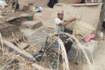

Karnali Province is located in the northwestern part of Nepal, bordering China in the north. It is Nepal’s largest and least developed province with remote districts. Despite poverty and infrastructural challenges, it is rich in natural beauty, biodiversity, and cultural heritage.
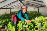
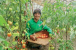
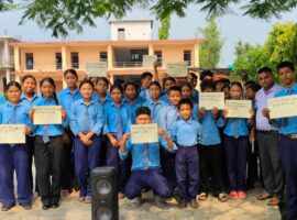
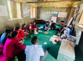
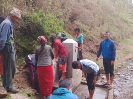
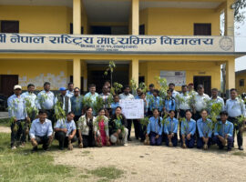
In Karnali Province, UMN aims to empower marginalised women, children, youth, and families through climate-resilient livelihoods, protection from harmful practices, access to quality education and mental health services, disability-inclusive environments, disaster risk reduction, and efforts to break cycles of poverty and discrimination.